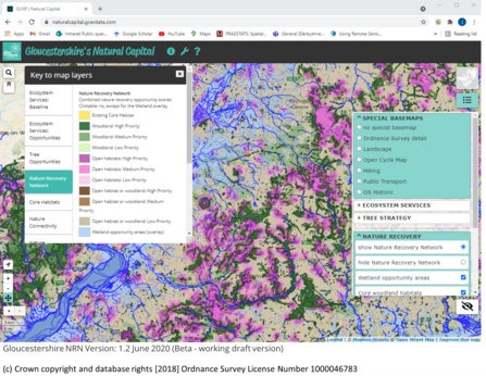
The Gloucestershire Nature Recovery Network mapping aims to show the prioritised distribution of opportunities for creating a more resilient network of habitats for people and nature. Opportunity for the four main habitat categories to be extended into larger and more joined-up networks is calculated using the concept of 'cost distance' - in other words, for a key suite of species typical of the habitat type, how easy is it for those species to spread given that some surrounding areas 'cost' (in ecological terms) more than others to move through? A score for the cost distance is then combined with a number of other opportunity scores and an assessment of constraints to habitat restoration/creation.

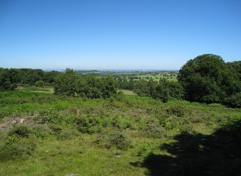
Gloucestershire Wildlife Trust/Nick Turner
The network thus illustrates both the existing hot spots of habitat, and also the potential benefits of improving the landscape permeability (reducing the 'cost') to create better networks both for biodiversity and ecosystem services. This is a very complex calculation that is not always easy to express on a map! Hence the habitats have been grouped into four component networks for ease of display and interpretation. The Nature Recovery Network layer, although generalized, is still strongly indicative of where the priority opportunities lie for landscape-scale habitat restoration. Four habitat groups are included in the Nature Recovery Network:
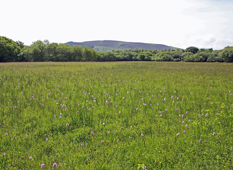
- Open habitat (core habitat: largely grassland but also some lowland heath)
- Woodland (core habitat: semi-natural woodland)
- Arable (coming soon! core habitat: farmland bird and specialist arable plant habitats) and
- Wetland (core habitat: all open water and wetland habitats). This layer is treated as an overlay to the other categories

(c) Crown copyright and database rights [2018] Ordnance Survey License Number 1000046783


